Point Cloud Technology: Unlocking the Future of Spatial Data Analysis
What Are Point Clouds and Why Should You Care?
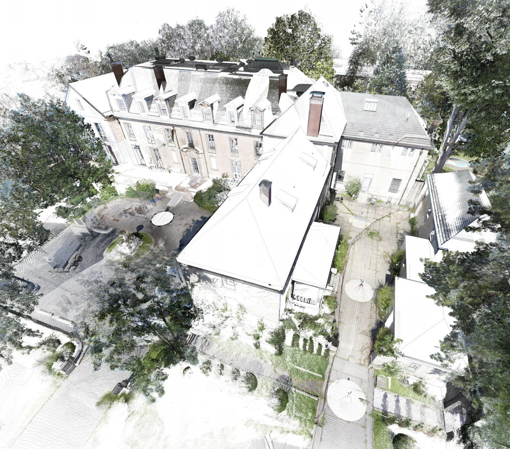
Point clouds represent one of the most promising yet underutilized technologies in spatial analysis today. At their core, point clouds are collections of data points defined by X, Y, and Z coordinates that collectively represent the external surface of an object or space in three dimensions. These digital representations capture reality with remarkable precision, yet their true potential remains largely untapped due to significant implementation challenges.
The Current State of Point Cloud Technology
The market for point cloud solutions is expanding rapidly across industries like architecture, construction, engineering, and autonomous technology. However, a fundamental problem persists: raw point cloud data lacks inherent structure and meaningful context. This limitation creates a significant gap between data acquisition and actionable insights.
The Raw Data Challenge
Point clouds by themselves don't tell you what you're looking at. Is that cluster of points a wall, a floor, or equipment? The data doesn't inherently contain this information, making point clouds difficult to work with directly for decision-making purposes.
As Florent Poux, a leading expert in the field, explains in Towards Data Science: "While the collection step may be specific to the sensor at hand, point-cloud-as-a-deliverable upsurges, becoming one de-facto choice for many industries. This task-oriented scenario mainly considers these as a spatial reference — which is used by experts to create other deliverables — thus being a project's closest link to reality." He also has an excellent YouTube Channel
In other words, point clouds serve as excellent spatial references, but they require significant processing and interpretation to become truly useful.
The Scan-to-BIM Pipeline: Current Industry Solutions
To bridge the gap between raw point cloud data and actionable information, the industry has developed the Scan-to-BIM workflow. This process converts unstructured point cloud data into structured Building Information Models (BIM).
Leading Scan-to-BIM Service Providers
The market features numerous companies specializing in this conversion process:
- IntegratedProjects - Leading suppliers of scan to BIM services because of thier approach with Matterport, they are attempting to turn this into more of a 'self-serve' product offering.
- UnitedBIM, ENG, Multiverse, TeslaOutsourcing, RVTCAD - Typical scan to BIM services
Point Cloud Processing Software Solutions
Several software platforms facilitate point cloud processing:
- Clear3D (Edgewise) - Specialized in architectural feature extraction
- Cintoo - Offers SDK for developers
- Pointfuse - Known for automatic feature recognition
- Scantobim, Geoslam - Providing end-to-end solutions
Key Engineering Challenges in Point Cloud Utilization in AEC
The transformation from point cloud to useful model faces several significant hurdles:
-
Lack of Semantic Information: Point clouds don't inherently identify what objects the points represent.
-
Registration and Processing Requirements: Point cloud data must be aligned and processed, requiring specialized expertise.
-
Translation Subjectivity: The BIM creation process requires clear direction regarding what information the end user needs. Without specific guidelines, the resulting model may reflect the subjective interpretation of the BIM creator rather than objective reality.
-
Static End Products: Once a scan is translated into a BIM, it becomes static. If additional information is needed, users must return to the original scan and repeat the translation process.
-
Standard Adherence Costs: The need to structure data according to specific company standards adds significant management costs to scan-to-BIM services.
Industry Leaders and Future Directions
Major technology companies recognize the potential of point cloud technology:
- Tesla & Waymo utilize point clouds in tandem with computer vision for autonomous driving applications.
- Boston Dynamics robots, particularly Spot and Stretch, utilize lidar sensors for navigation, obstacle avoidance, and other functionalities.
- Apple has created point cloud capabilities in their AR development.
- Polycam has implemented Apple's SDK.
- Hover has implemented Apple SDK and has produced an interesting app for James Hardie
While Tesla, Waymo, and Boston Dynamics leverage point cloud technology internally to enhance their services, Apple's SDK represents a shift toward enabling external developers to build applications on point cloud foundations.
The Path Forward: Structured Data from Unstructured Clouds in AEC
To unlock the full potential of point cloud technology in the building industry, it must develop advanced algorithms for:
- Automatic Segmentation: Identifying distinct objects within point clouds
- Semantic Classification: Labeling points and sets of points according to what they represent
- Feature Extraction: Deriving meaningful information from point groupings
- Dynamic Modeling: Creating BIM workflows that can be updated without starting from scratch
The Untapped Potential of Point Clouds
Point clouds represent an incredibly accurate digital capture of our physical world, but their unstructured nature limits their immediate utility. The future belongs to technologies that can bridge this gap—transforming raw spatial data into structured, actionable information.
As organizations continue to invest in point cloud technology, those who solve the challenges of automatic processing and semantic understanding of point clouds will gain significant competitive advantages across industries ranging from construction and facilities management to autonomous systems and urban planning.
Looking to implement point cloud technology in your organization? Contact me for a consultation on how to transform spatial data into actionable insights.